Interactive Michigan Railroad Map
The Clarke's interactive Michigan railroad map follows seven historical railway lines in Michigan and shows images of many of the depots and stations along the line, which are sourced from the Charles Conn Railroad Collection. The sites of the stations along each of the lines on the map were gathered from a 1913 railroad map of Michigan.
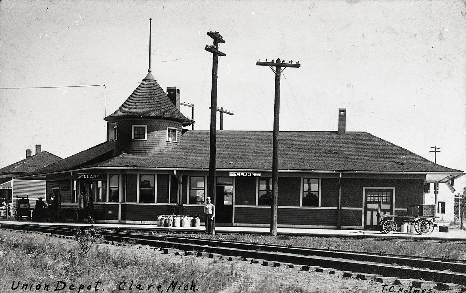
Explore historical photos of the stations and depots on the Ann Arbor, the Pere Marquette, the Grand Rapids and Indiana, the Duluth and South Shore the Grand Trunk, the Michigan Central, and the Detroit and Mackinac lines. (Image: Clare Union Depot pictured from the interactive map of the Ann Arbor Railroad line)