Geospatial Analytics
Minor
Program Overview
Are you interested in addressing real-world challenges facing government, business, and non-profit organizations using data? Are you interested in combining skills from two growing technical fields with hands-on learning experiences? The Geospatial Analytics Minor prepares students for data-driven careers by integrating Data Science with Geographic Information Science. Learn how to develop skills to address real-world challenges for government, business, and non-profit organizations.
Program Snapshot
Why This Program & What You'll Learn
The Geospatial Analytics Minor prepares students for data-driven careers by integrating Data Science with Geographic Information Science.
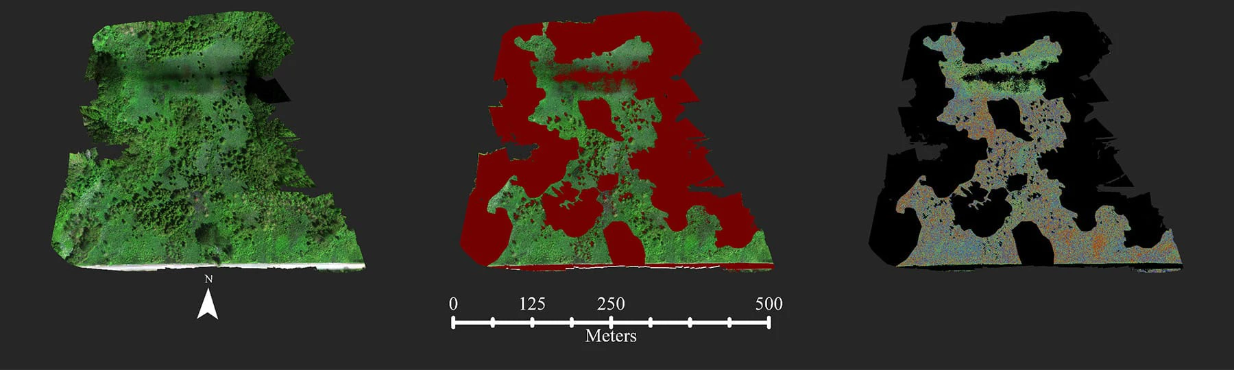
The program features a unique curriculum that prepares students to acquire data, prepare data for analysis, analyze data using spatial methods, and visualize geospatial data maps, charts, tables, and dashboards.
You'll learn how to use industry leading software such as ArcGIS Pro and ArcGIS Online, R and RStudio, SAS, and Tableau and how to program and create custom solutions using python.
Elective options in Cartography, Remote Sensing, Environmental Modelling, or Social Science.
Program Highlights
As a Geospatial Analytics minor, you'll:
- Gain hands-on experience with our state-of-the-art virtual computing labs – access industry leading software in the classroom, dorm room, or anywhere with internet access.
- Benefit from small classes, field trips, and opportunities to do research with faculty.
- Gain professional development and contacts through student organizations such as the Geography Club.
Careers & Outcomes
Prepare for an exciting career in geography with highly marketable skills that give you access to many opportunities.
| Career | Projected Salary |
|---|---|
| Data Scientist | $108,020 |

Request Information about CMU
By submitting this form, I agree to receive calls, emails and/or text messages from Central Michigan University to discuss furthering my education.